Experience the lure of the Lava Lands
Published 5:00 am Wednesday, August 28, 2002
The beautiful thing about a place like Newberry National Volcanic Monument is that you don’t have to be a gung ho hiker or wilderness buff to enjoy it.
To be sure, there’s terrain within this 50,000-acre wonderland that will challenge the fittest among us. (Try pedaling the 8.6 mile Peter Skene Ogden Trail up to Paulina Lake.) And there are remote reaches where even the black bears are lonely. But there are enough short, gentle trails leading to key geologic attractions here to make this a genuine monument for the masses.
Trending
It’s a great place to spend a few hours or an entire day with the family and come away steeped in the volcanic lore of the region. You’ll also get some exercise, breathe some clean air and perhaps ooh and ahh over nature’s fire power.
The Lava Lands Visitor Center, which is about 13 miles south of Bend off Highway 97, is the ideal place to start. Inside, you can orient yourself while browsing displays on Central Oregon wildlife, history, archaeology and, of course, geology.
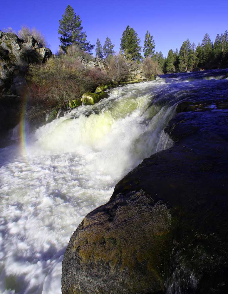
Looming above the center is Lava Butte, the monument’s chief raison d’etre, which spewed lava out over nine surrounding square miles 7,000 years ago.
The Trail of the Molten Land, which begins and ends at the center, is a one-mile, paved loop that takes you to an overlook near the base of Lava Butte. There, you’ll be able to see the (volcanic) Cascades – Bachelor, Tumalo, Broken Top, South Sister – and a whole lot of lava stretching out before you like a huge batch of crumbly, over-baked brownies. This lava is a’a, a Hawaiian word that refers to its jagged consistency. (Pahoehoe is the smoother, ropier lava that looks more like the frosting.)
On the way to and from the overlook, you’ll pass through areas containing lava tubes, lava balls, pressure ridges, gutters and levees with enough interpretive signs along the way to keep you from guessing.
According to ”Hiking Oregon’s Geology,” by Ellen Morris Bishop and John Eliot Allen, an eruption of fluid basalt from Lava Butte about 6,200 years ago dammed the Deschutes River, creating a lake that backed up the river almost to La Pine. As the lake drained, the Deschutes carved a new channel, which it now follows.
Trending
Another nifty hike within the national monument that’s high on the cost-benefit scale is the Lava Cast Forest. About five miles south of the visitor center, turn left (east) on to Forest Road 9720 and follow it nine bumpy, rutted miles to the parking area (it’s best to check on road conditions at the visitor center, especially following rainy periods).
The unique forest is actually a 7,000-year-old lava flow that pulsed hot and gooey out of Newberry Volcano and moved through an old-growth ponderosa pine stand, immolated the trees and then cooled. What’s left are dozens of ”molds” where the pines once stood.
Grab a brochure at the trailhead and take a 1-mile self-guided tour of the forest, a jaunt the Forest Service aptly calls a ”walk through time.”
Both of the aforementioned trails are at least partially accessible to wheelchairs but don’t yet come up to ADA standards, according to the Forest Service.
There’s also a mile-long Lava River Cave, a mile south of the visitor center that’s worth a look. It’s a lava tube formed by a river of molten magma a long time ago. That lava was hot, but now the tube remains at a constant 42 degrees year-round. Dress warmly and bring a flashlight or propane lantern; it’s dark inside.
Visitors can also hike or motor to the top of Lava Butte for a panoramic view of the countryside.
Marketplace


Best of the Best of Bend 2025

-
eEdition

-

-