Travel: Oregon Vortex may be state’s weirdest spot
Published 6:30 am Monday, April 10, 2017

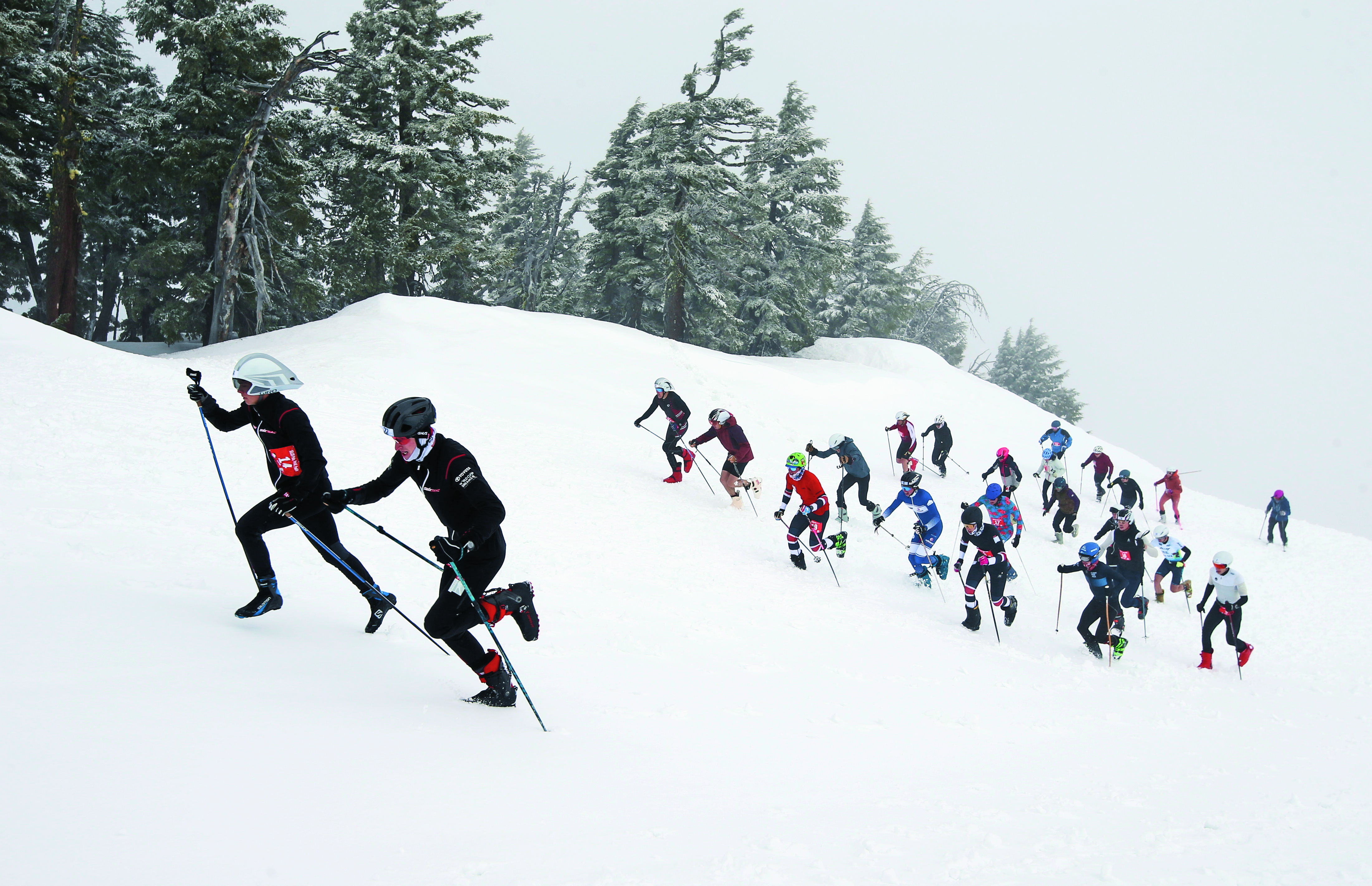
- TOP: Hannah Lewis Despain demonstrates the evenness of the ground with a carpenter’s level during a demonstration at The Oregon Vortex.ABOVE: A gateway welcomes visitors to the Lower Table Rock Natural Area between Gold Hill and Medford. (John Gottberg Anderson/Photos for The Bulletin)
GOLD HILL — I see myself as an open-minded skeptic. At first glance I may not believe what I’m told, or what something appears to be, but I will leave room to be persuaded.
My first reaction to The Oregon Vortex, located in an isolated, former mining area of Southern Oregon, is that its gravitational anomalies, as experienced by myself and so many others, can’t possibly be.
But I haven’t seen anything to disprove what I have seen and felt. I’m certain “the truth is out there,” as Agent Fox Mulder said on the old “X-Files” television series, but I’m not sure what that is. Apparently, neither does anyone else.
These are the simple facts: 4 miles north of the Rogue River on Sardine Creek Road, just west of the historic hamlet of Gold Hill, there exists an invisible force field, a sphere 165 feet in circumference, both above and below ground, where the ordinary rules of physics don’t apply.
At the heart of this vortex — a phenomenon defined as “a mass of swirling air or liquid that pulls things toward its center” — is a wooden shack. The House of Mystery served as an assay office and tool shed for the Gray Eagle gold mine in the late 19th century. The structure is thoroughly dilapidated and looks ready to collapse in the next moment.
You cannot, apparently, stand straight in the House of Mystery. Outside it, people appear to get taller and shorter while walking across a level platform.
Balls placed on a seemingly level surface roll uphill. Birds and other wildlife avoid the immediate environs. In the not-too-distant past, the air space immediately above the Vortex was a designated “no-fly zone” after pilots discovered their instruments behaved strangely.
Strange days
Many theories have been advanced for the strange occurrences at this site, everything from a peculiar refraction of light to the influence of an ancient meteorite. None of them stand up to scientific scrutiny.
As far back as the 1860s, explorers expressed misgivings when hiking a trail through the area. They soon learned the Takelma regarded the areas as forbidden ground because their horses refused to tread there. Miners aware of its quirks built an assay office in a place where measurements could easily be tipped to take advantage of the naive.
In about 1914, visiting geologist John Litster was intrigued enough that he bought the property. Beside trickling Sardine Creek — so named, it is claimed, because miners’ sardine tins collected along its banks before the creek reached the Rogue River — he began to measure and record data about the unusual site. He opened it to the public in 1930 and charged admission until his death in 1959, after which his widow sold it to the Ernie Cooper family. The Oregon Vortex is now run by a third generation of Coopers.
Litster’s slender volume, “Notes and Data,” is still available in the Vortex office building, as is considerable other documentation. But reading is not the same as actually experiencing, so I was pleased to join a 10-person tour of the property led by Hannah Lewis Despain, a former Sisters High School student who is now a resident of Medford.
Designed to exhibit many of the phenomena at the Vortex, the tour began with a demonstration of perceived changes in height. Standing on a flat board with their backs against marked poles, two people faced each other with a pole across their heads. Then they changed positions. Invariably, the individual leaning against the pole on the north side, facing south, appeared to be significantly taller in comparison to the person on the south side, facing north. Despain even used a carpenter’s level to prove the plank was not slanted.
It’s easy to feel disoriented after climbing a short distance to the House of Mystery. A handrail offers some stability, but only so far as one’s feet come to rest on the steeply slanted floor. Then you’ll invariably wind up leaning toward magnetic north at an angle of as much as 7½ degrees, according to Despain and other guides.
Despain stood a broom at an odd angle in the middle of the room; it remained erect and didn’t topple. She rolled a soda bottle on the floor and a golf ball down a chute; both went steadily uphill of their own volition. Even the maple and madrone trees growing within the Vortex leaned at odd angles. And I found myself feeling dizzy, and a little bit nauseated, after spending the better part of an hour within this strange force field — if, in fact, that’s what it is.
Gold Hill
The town of Gold Hill, some 5 miles away, dates from the mid-19th century. Thousands of settlers began homesteading the Rogue Valley after the establishment of the Applegate Trail in 1846 and the enactment of the Donation Land Claim Act in 1850. The land act granted single individuals title to 320 acres and married couples 640 acres after four years of homesteading.
Col. F.L. TouVelle, whose name appears through the valley on everything from state parks to historic mansions, was the first to set down roots across the Rogue River from modern Gold Hill. He helped bring the first postal service to the Rogue Valley in 1852. Gold was discovered soon thereafter on Jackson Creek (now Jacksonville) and Sardine Creek, leading to friction between pioneers and Native Americans — who were soon exiled from their Rogue homeland to reservations in northwestern Oregon.
Not long after Irish immigrant Thomas Chavner settled here in 1857, one of his employees discovered a chunk of gold-rich ore on the property. In 1860 a claim was filed for the Gold Hill Lode, and many other mines followed, including the Lucky Bart Mine on Sardine Creek. But none was as successful as the original, which yielded more than $20 million at today’s prices.
Chavner used his profits to purchase nearly 2,000 acres of land along the Rogue River. He built a bridge over the river in 1876 and charged a toll for its use until he sold it to Jackson County in 1888. He made even more money in 1883 by selling a right-of-way through his property for a railroad. Then he platted an 80-acre town site for Gold Hill and donated its streets to the public. The city was incorporated in 1895.
More than 120 years later, Gold Hill remains little more than a village, with a population of about 1,200. Located about midway between Medford (14 miles) and Grants Pass (18 miles), it is close to both but a part of neither.
Still, its vibrant mining history may be indulged at the Gold Hill Historical Society Museum in the historic Beeman-Martin House, built in 1901 by Josiah Beeman, owner of the Lucky Bart Mine. The museum’s most notable artifact is Beeman’s own five-stamp mill, which served the Lucky Bart beginning in 1892 when it was shipped by rail from San Francisco. Nearly 20 feet tall, built of thick timbers, the fully intact mill is one of a small handful surviving in Southern Oregon.
The Takelma
The Takelma were the original residents of the region. They harvested camas bulbs from the meadows surrounding the Rogue River, maintained groves of black oak for acorns, hunted deer and elk in the forested mountains and fished for salmon and steelhead in the rivers. Indeed, their name means “People of the River.”
The Lower and Upper Table Rocks, a few miles east of Gold Hill and north of modern Medford, were the landmarks by which they identified their homeland for more than 15,000 years. The flat-topped hills are the remains of a lava flow from a long-gone volcano that filled the Rogue Valley with molten rock, hundreds of feet thick, about 7 million years ago. Eons of erosion left only these two horseshoe-shaped plateaus, both of which rise about 800 feet above the surrounding landscape to just over 2,000 feet altitude.
The features are prominent in legends of the Takelma people, who called them “Titanakh.” One story tells of Khu-khu-w, the Rainmaker, who did his job too well when he was called upon to ease a drought: Endless rains flooded the valley. In response, the Takelma asked Beaver to chew the rock down so they could catch the Rainmaker, but Beaver gave up, leaving only traces of his gnawing near the cliff bases. The Rainmaker escaped by transforming himself into a giant cedar tree atop Lower Table Rock, while his son and grandson turned to stone and became pinnacles on the south side of the cliff.
The Takelma lifestyle was no match for that of settlers, who were driven by gold fever. Forced in 1853 to sign a treaty that ceded the Rogue Valley to the U.S. government, the Native American people were gathered into a small Table Rock reservation. But the homesteaders’ hogs ate their camas and acorns, mercury and other chemicals used in mining destroyed their fish runs, and they found themselves facing starvation.
Following a brutal massacre in late 1855, the Takelma fled their reservation in search of refuge in the Rogue River Canyon, near the modern Valley of the Rogue State Park. They were soon forced to surrender, and in February 1856, the surviving Takelma were marched north 250 miles, through mud and snow on the Applegate Trail, to the Grand Ronde and Siletz reservations in northwestern Oregon. Any who attempted to stray from the pack were hunted down and killed.
Table Rocks
The Table Rock area was quickly developed, primarily as farm and grazing land. It wasn’t until the 1970s that steps for protection were taken. With increased environmental awareness came the discovery that the rocks are home to more than 70 species of animals and 340 species of plants, including some 200 different wildflowers. Today a consortium of the Bureau of Land Management, Rogue River Ranch and The Nature Conservancy manage the hills, with the BLM having designated official Areas of Critical Environmental Concern in recognition of the unique flora.
Trails now climb both mounts, and these are among the most popular hiking locations in the Rogue Valley. I enjoyed a midday ascent of Lower Table Rock, climbing 1.6 miles slowly from oak savanna through manzanita chaparral into woodlands of madrone, black oak, ponderosa pine and Douglas fir. Wildflowers were just starting to emerge: desert parsley, Oregon buttercup, fawn lily, larkspur, shooting star and Western columbine. Atop the plateau, rainwater pools that provide a home for endangered fairy shrimp also nurture the dwarf woolly meadowfoam, a wildflower whose five-pointed white blossoms are found nowhere else in the world.
The Takelma people, although they no longer live here as a community, have never forgotten their original homeland. They sometimes travel to visit the Table Rocks and Ti’Lomikh Falls on the Rogue, just upriver from Gold Hill.
For thousands of years prior to white settlement, according to oral tradition, the Takelma celebrated the first salmon run of the spring with a Salmon Ceremony at this place on the Rogue River. An elder of the tribe sat beside the falls on a stone known as the Story Chair to net the first fish of the season. As other salmon continued upstream to spawn, that first salmon was meticulously cleaned and divided as a sacrament among the tribe’s people, and its bones and skin returned to the pool below the falls. Only then did fishing season begin. The ceremony was a successful management device that ensured the annual return of salmon.
Starting in the 1850s, mining, logging, farming, overfishing, dams and urbanization decimated the salmon runs. Hatcheries barely compensated, and current salmon runs are about 10 percent of what they were two centuries ago. And the Story Chair was forgotten — until 1933, when a Takelma elder came from Siletz to resurrect the story from her youthful memories for the Smithsonian Institution.
Another three generations later, in 2007, Agnes Baker Pilgrim, the oldest living Takelma, returned to Gold Hill to rediscover the Story Chair and restore the ancient Salmon Ceremony to its original site on the Rogue. Now, every year, “Grandma Aggie,” who is 92, sits in the chair and blesses the water.
In the past 10 years, three small dams have been removed from the river. And skeptic though I may be, I want to believe. Though the falls are only a few miles from The Oregon Vortex, the water isn’t flowing uphill and the fish are returning much faster than had been predicted. Maybe, just maybe, there’s something to this.
— John Gottberg Anderson can be reached at janderson@bendbulletin.com.
Expenses
Mileage, Bend-Gold Hill (round-trip): 346 miles at $2.40/gallon: $33.22
Lodging (two nights, with breakfast), Inn at the Commons, Medford: $174
Dinner, Larks Restaurant: $37
Admission, The Oregon Vortex: $12.75
Lunch, The Teapot on Wheels: $14.99
Dinner, Miguel’s Mexican Restaurant: $18.99
TOTAL: $290.95
If you go
INFORMATION
Southern Oregon Visitors Association: P.O. Box 1645, Medford, OR 97501; southernoregon.com. 541-708-1994.
LODGING
Inn at the Commons: 200 N. Riverside Ave., Medford; innatthecommons.com, 541-779-5811, 866-779-5811. Rates from $81. Includes Larks Restaurant; moderate.
Lazy Acres Motel & RV Park: 1550 Second Ave., Gold Hill; 541-855-7000. Rates from $65.
The Weasku Inn Historic Lodge: 5560 Rogue River Highway, Grants Pass; weaskuinn.com, 541-471-8000. Rates from $134.
DINING
Bee Gees Diner: 500 E. Main St., Rogue River; 541-582-4147. Three meals every day. Moderate.
Cottage Cafe: 210 E. Main St., Rogue River; 541-299-0650. Breakfast and lunch Wednesday to Sunday. Moderate.
Miguel’s Friendly Family Mexican Restaurant: 411 Fourth Ave., Gold Hill; miguelsmexicanfood.com/gold-hill, 541-855-0420. Lunch and dinner every day. Moderate.
The Teapot on Wheels: 1754 Rogue River Highway, Gold Hill; theteapotonwheels.com, 541-855-4343. Breakfast and lunch Tuesday to Saturday. Budget and moderate.
ATTRACTIONS
Gold Hill Historical Society Museum: 504 N. First Ave., Gold Hill; facebook.com, 541-855-1182. Open Thursday to Saturday afternoons. Free admission.
The Oregon Vortex: 4303 Sardine Creek Left Fork Road, Gold Hill; oregonvortex.com, 541-855-1543. Open daily March through October. Adult admission $12.75.
Table Rock State Natural Areas: Wheeler Road (Lower Table Rock) and Modoc Road (Upper Table Rock), Sams Valley; southernoregon.com/tablerock, 541-618-2200.
Valley of the Rogue State Park: Interstate 5 at Gold Hill; oregonstateparks.org, 541-582-3128, 800-452-5687.

Best of the Best of Bend 2025

-
-
-