Round Mountain in the Ochocos
Published 7:16 am Thursday, September 27, 2018
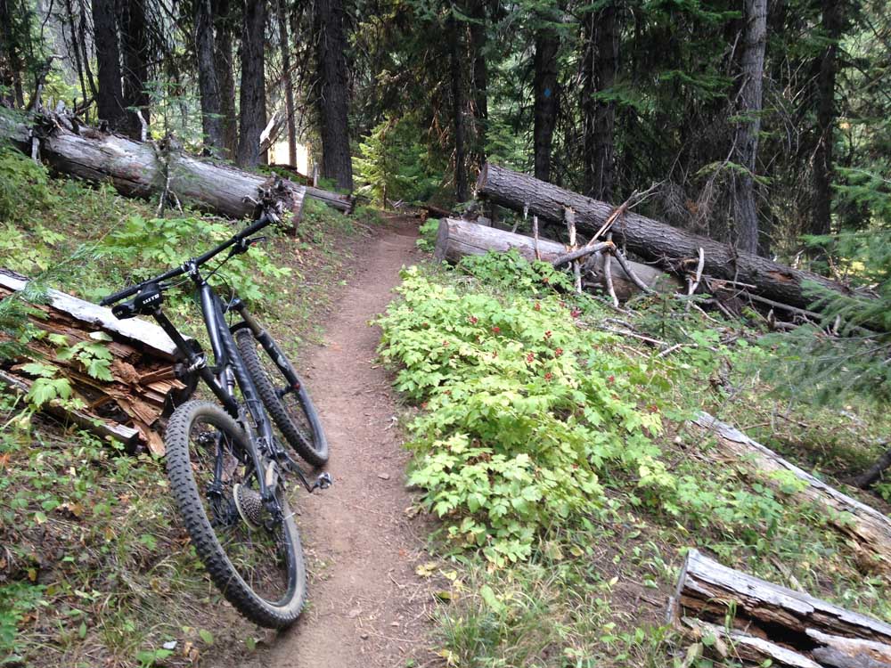
- Flat stretches are a rarity on the Round Mountain Trail in the Ochoco Mountains.(Mark Morical/Bulletin photos)
Avoiding the smoke from area wildfires was my main concern last week when trying to decide where to mountain bike in Central Oregon.
While the Bend and Sisters areas were to be avoided due to unhealthy and even hazardous amounts of smoke, Prineville’s air quality was listed as “good” on the real-time air quality index (aqicn.org).
Not that I really needed an excuse to head to the Ochoco National Forest near Prineville for a ride. The trails there offer such a unique opportunity in the region.
While the singletrack closer to Bend is designed for flow and is almost groomed in some places, the trails in the Ochoco Mountains are more about the adventure. They are rugged, lightly ridden paths that cut through a fairly remote part of Oregon.
If you want to ride your bike to the top of a mountain and then rumble back down said mountain, you can do it in the Ochocos. That was my plan for a trip to Round Mountain in north-central Crook County.
Lookout Mountain, the highest point in the Ochocos at 6,926 feet, is perhaps the location in the mountain range most frequented by bikers. The summit can be reached via several routes, but the highlight is the descent along the Lookout Mountain Trail, which features 8 miles of fast, hair-raising downhill.
Lookout Mountain and Round Mountain trails can be combined for a grueling day of 35 miles — too much for this rider. I was thinking more in the 10-mile range, knowing just how steep some of the climbs are.
So I opted for an out-and-back ride along the Round Mountain Trail, starting from the north trailhead near Walton Lake.
The challenging climbing begins right from the trailhead as the path cuts through green meadows and towering ponderosa pines. The Round Mountain Trail is about 9 miles long (I rode 5 miles out before turning back) and includes 2,400 feet of elevation gain, most of it in the first half of the ride, according to Bendtrails.org. The trail climbs 2,200 feet in just the first 4.7 miles.
The trail flattens out in certain sections but the climb is pretty relentless. Despite some smoke from distant wildfires, the summit of Round Mountain (6,753 feet) appeared between the trees, somewhat intimidating, as it looked like it would be a difficult grind to reach the top.
But I pushed on, and before long I made it to a viewpoint where normally I could see the sprawling Ochocos to the north. But the smoke shrouded much of the view.
As I ventured higher up the mountain, the trail became steeper and steeper. I was forced to hike my bike along many sections, including about the last quarter of a mile to the top.
From the summit of Round Mountain, the panorama typically provides a glimpse of Oregon’s diverse terrain, the brown and barren desert to the east and the lush dark green of the Ochocos to the west. But even from the top, on this day the smoke in the distance ruined most of the view in all directions.
A little way down the dirt road from the summit is the singletrack that leads toward the south trailhead of Round Mountain. I cruised down the trail toward the saddle between Round and Lookout mountains. Knowing I would have to climb back up the way I had come, I turned around after about a mile or so to head back to the summit of Round Mountain.
The descent back toward Walton Lake is so fast that it seemed I rode my brakes most of the way. Descending bikers should be sure to watch for and yield to hunters, hikers and horseback riders, who also share the trail.
By the time I got back to the north trailhead where my car was parked, I had ridden about 10 miles in 3½ hours.
The Ochoco National Forest and the Central Oregon Trail Alliance (COTA) are proposing more miles of mountain bike trails on and around Lookout and Round mountains, part of parallel efforts to make Crook County a magnet to cyclists. The idea is to create more loop opportunities for mountain bikers. COTA is planning to renovate three historic nonmotorized multiuse trails in the Ochocos. The organization received a Recreational Trails Grant, a national grant for recreational trail-related projects, to rehabilitate those trails.
Creating additional mountain biking opportunities in the Ochocos is a superb idea, as riders are always looking for more trails outside of Bend that offer a different flavor and sense of adventure.
— Reporter: 541-383-0318,
mmorical@bendbulletin.com
Round Mountain Trail
Directions: From Prineville, take U.S. Highway 26 east to Forest Service Road 22 (follow signs to Walton Lake). Park at the Round Mountain North Trailhead, just across SR 22 from the Walton Lake entrance (about 1½ hours from Bend). This singletrack trail climbs to the top of Round Mountain and then descends toward Lookout Mountain. The guide TREADMAPS Central Oregon Part 2 includes trails in the Ochocos and is available at local bike shops.
Trail Features: Lots of strenuous climbing along rugged singletrack with, on clear days, incredible views from atop Round Mountain. The downhill back toward Walton Lake is fast and challenging, with switchbacks and a few rocky areas.
Distance: The climb from the Round Mountain North Trailhead to the summit is about 4 miles. The total distance of the trail is 9 miles.
Elevation gain: 2,400 feet.
Rating: Aerobically strenuous and technically difficult.
Season: Summer and fall.


Best of the Best of Bend 2025

-
eEdition

-

-
Go! eEdition