Prescribed burns planned in BLM Prineville district
Published 7:30 am Friday, October 25, 2019
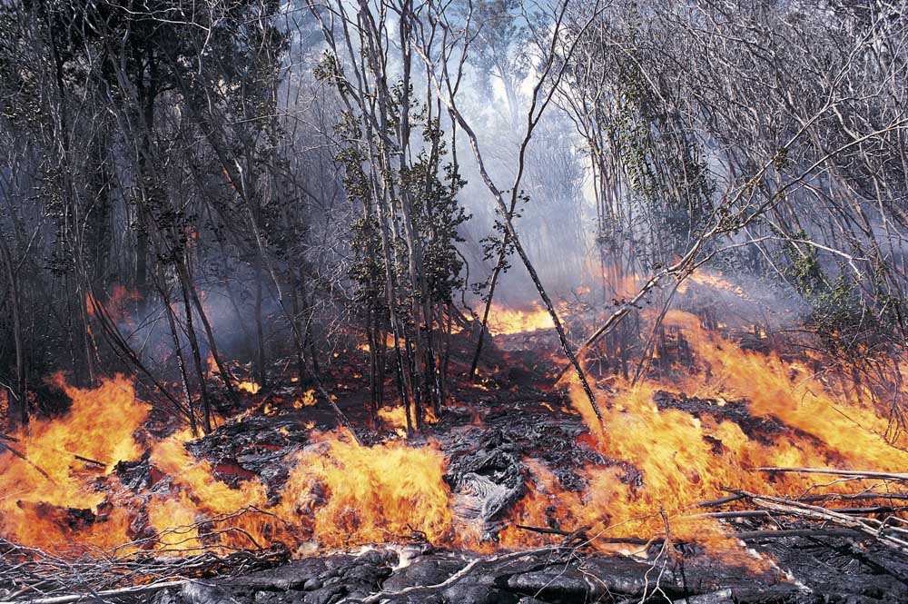
- (Thinkstock)
The Bureau of Land Management Prineville district will start several prescribed burns over the next few months with the first one as early as Oct. 25.
The planned burns are dependent on favorable temperatures, moisture and wind conditions to minimize the effect of smoke, according to BLM officials.
Trending
These prescribed burns are planned in the following areas:
• Clarno Agricultural Fields: 187 acres on BLM land near Clarno adjacent to the John Day River.
• Bridge Creek Agricultural Fields: 192 acres on BLM land west of Mitchell along Bridge Creek.
• Prineville Lake Acres Project: 204 acres of hand piles 12 miles south of Prineville. The project is south of the Upper Davis Loop Road and north of the Prineville Reservoir.
• High Desert Shrub Steppe Project: up to 7,300 acres of juniper slash on BLM land south of Brothers and an additional 122 acres east of Paulina.
• Tumalo Ponderosa Pine Project: 10 acres of machine and hand piles three miles west of Tumalo.
Trending
• La Pine Hazardous Fuel Reduction Project: 50 acres of pile burning east of La Pine State Park and another 50 acres south of Sun Forest Estates subdivision.
• Williamson Creek: 500 acres of prescribed burning near the corner of Millican Road and Reservoir Road southwest of Prineville.
Marketplace


Enter the $5,000 Sweepstakes

-
eEdition

-

-