Mountain biking Sandy Ridge
Published 12:15 am Thursday, January 30, 2020
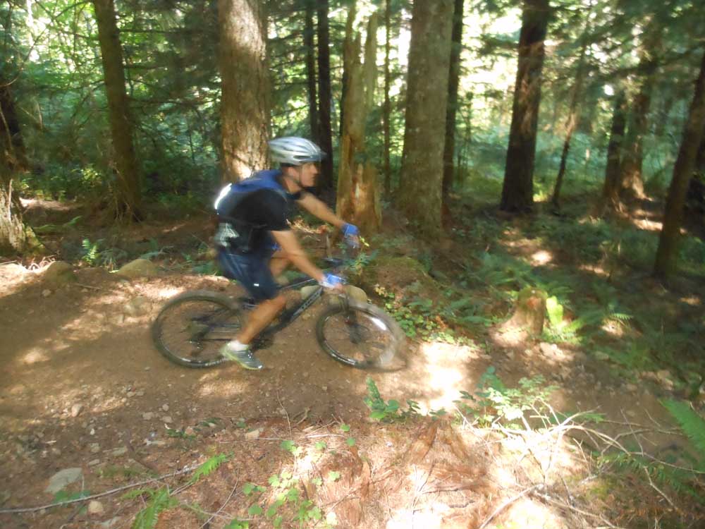
- A mountain biker descends a trail at Sandy Ridge.
The popular Sandy Ridge Trail System east of Portland was built with a distinctive downhill/freeride flavor. The 3 1/2-mile climb to the upper trailhead at Sandy Ridge is well worth the time and effort, as numerous singletrack loop options give mountain bikers a chance to enjoy a variety of trails before letting gravity completely take over on a 1,300-foot descent. Located 12 miles east of Sandy just off U.S. Highway 26 about 125 miles from Bend, the Sandy Ridge Trail System is a joint project among the Bureau of Land Management, the International Mountain Bicycling Association and the Northwest Trail Alliance.
Directions: From Bend, take U.S. highways 97 and 26 north and northwest toward Portland. Just past the unincorporated community of Brightwood, make a turn right onto Sleepy Hollow Drive. After a third of a mile, make another right on Barlow Trail Road. After about a mile, the sign for the Sandy Ridge Trailhead is on the left.
Distance: Ten trails of varying difficulties total about 15 miles.
Rating: Aerobically moderate to strenuous and technically intermediate to advanced. (Easy trails are accessible at the bottom trailhead.)
— Mark Morical, The Bulletin


Best of the Best of Bend 2025

-
-
-