Conditions report for areas east of Bend
Published 12:00 am Friday, September 11, 2020
- Fort Rock State Park is currently open for hiking. Rock scrambling is currently prohibited due to nesting raptors.
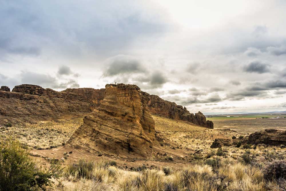
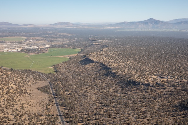
Oregon is full of varied landscapes including verdant forests and mountain peaks. Just east of Bend, the landscape changes drastically to the arid high desert landscape with roads and trails less traveled. But if you are still up for a walk in the woods, the Ochoco National Forest has you covered and then some.
With several fires raging on the west side of the Cascades, as well as hot and dry weather in the forecast, it is a good reminder to do everything you can to prevent fires wherever you decide to explore this weekend. For tips on remaining fire safe while recreating, visit keeporegongreen.org.
If a fire starts near the area you plan on visiting, turn around and keep the roads clear to let the firefighters do their job.
For a full list of conditions updated regularly, please visit centraloregonexplore.com
Hiking and Day Use Sites
Deschutes National Forest
Bessie Butte Trail: Open
Boyd Cave Day Use Area: Open
Horse Butte Trailhead: Open
Pine Mountain: Open
Ochoco National Forest
Alder Springs Trailhead: Open
Antelope Flat Reservoir: Open
Baneberry Trailhead: Open
Barnhouse Trailhead: Open
Black Canyon East (Formerly South Fork) Trailhead: Open
Black Canyon West (Formerly Dusty Camp) Trailhead: Open
Boeing Field Trailhead: Open
Coffeepot Trailhead: Open
Cottonwood Trailhead: Open
Cougar East Trailhead: Open
Cougar West Trailhead: Open
Cyrus Trailhead: Open
Fry Trailhead: Open
Giddy-Up Go Trailhead: Open
Gray Butte Trailhead: Open
Green Mountain North Trailhead: Open
Green Mountain South Trailhead: Open
Hammer Creek Trailhead: Open
Henderson Flat OHV Trail System: Open
Henderson Flat Staging Area: Open
Keeton Trailhead: Open
Kelsey Trailhead: Open
Line Butte East (Formerly Fawn Creek) Trailhead: Open
Line Butte West Trailhead: Open
Lookout Mountain Lower Trailhead: Open
Lookout Mountain Upper Trailhead: Open
Mascall Corral (Formerly Apple West) Trailhead: Open
Mother Lode Mine Trailhead: Open
Payten Trailhead: Open
Potlid North Trailhead: Open
Potlid South Trailhead: Open
Rim (Formerly Apple Middle) Trailhead: Open
Rimrock Springs Trailhead: Open
Rock Creek Trailhead: Open
Round Mountain North Trailhead: Open
Round Mountain South Trailhead: Open
Scales Corral Trailhead: Open
Scotty Creek Trailhead: Open
Skull Hollow Trailhead: Open
South Prong Trailhead: Open
Steins Pillar Trailhead: Open
Tam-A-Lau Trailhead: Open
Trail Crossing Corrals Trailhead: Open
Twin Pillars North Trailhead: Open
Twin Pillars South Trailhead: Open
Walton Lake Trailhead: Open
Wildcat North Trailhead: Open
Wildcat South Trailhead: Open
Bend Park & Recreation Trails
Big Sky Park: Open; maintain social distancing
Central Oregon Historic Canal Trail: Open; maintain social distancing
Pine Nursery Park Trail: Open; maintain social distancing
Bureau of Land Management
Badlands Rock Trail: Open
Black Hills ACEC: Open; climbing and geocaching are prohibited
Chimney Rock Trail: Open
Crack-in-the-Ground: Open
Dry River Canyon Trail: Open
Flatiron Rock Trail: Open
Green Mountain: Open
Huntington Wagon Road: Open
Lower Crooked River: Open
North Fork: Open
Oregon Badlands Wilderness Tumulus Trail: Open
Oregon State Parks
Fort Rock State Natural Area: Open; limited services; rock scrambling closed in southeast area to protect nesting falcons
Jasper Point: Open; boat ramp closed due to low water conditions; camping is first come, first served; cabin is closed
Prineville Reservoir State Park: Open; reduced services; Roberts Bay and Ochoco Viewpoint are closed; no boat slips available, boaters can anchor off beach; no open flames in backcountry areas of the park; cabins and boat-in camping is closed
Camping
Deschutes National Forest
China Hat Campground: Open
Pine Mountain Campground: Open
Ochoco National Forest and Crooked River National Grassland
Allen Creek Horse Camp: Open
Antelope Flat Reservoir Campground and Day Use: Open
Barnhouse Campground: Open
Big Spring Campground: Open
Biggs Springs Campground: Open
Cottonwood Campground: Open
Cottonwood Pit Campground: Open
Cyrus Horse Camp: Open
Deep Creek Campground: Open
Dry Creek Horse Camp: Open
Elkhorn Campground: Campground: Open
Haystack Reservoir Campground and Day Use Area: Open
Haystack Reservoir Group Site: Open; managed by Crook County
Haystack West Shore Campground and Day Use Area: Open
Mud Springs Horse Camp: Open
Ochoco Divide Campground: Open
Ochoco Forest Campground: Open
Ochoco Forest Camp Group Pavilion: Open
Skull Hollow Campground: Open
Sugar Creek Campground and Day Use Area: Open
Walton Lake Campground: Open
Walton Lake Group Campsites: Open
Whistler Campground: Open
White Rock Campground: Open
Wildcat Campground and Day Use Area: Open
Wildwood Campground: Open
Wolf Creek Campground: Open
Wolf Creek Industrial Campground: Open
BLM — Prineville District
Big Bend Campground: Open
Castle Rock Campground: Open
Chimney Rock Campground: Open
Cobble Rock Campground: Open
Lone Pine Campground: Open
Palisades Campground: Open
Post Pile Campground: Open
Stillwater Campground: Open
Cycling
East of Bend trails
Arnold Ice Cave, Boyd Cave Trail, Dry River Canyon and Horse Butte Loop: Sandy and loose
All other trails riding well
Prineville and Ochoco trails
Cougar Creek and Lookout Mountain: Riding well; deadfall reported
All other trails riding well
Fishing
Updated at 9 a.m. Sept. 10.
Crooked River (below Opal Springs): 1,180 cfs; rainbow trout and mountain whitefish; water temperatures and flow remain good and there are good populations of both trout and whitefish, pressure is high; no bait allowed
Prineville Reservoir: 38% full; rainbow trout, small and largemouth bass, catfish, crappie, crayfish; trout fishing has been fair, good for warm weather species
Ochoco Reservoir: 18% full; rainbow trout, black crappie, smallmouth bass; bass population is abundant, crappie aren’t as abundant. Low water level has made the boat ramp unusable for boats on trailers.
Haystack Reservoir: 79% full; rainbow and brown trout, kokanee, largemouth bass, black crappie, bluegill and bullhead catfish; fishing for rainbow trout is fair on bait, troll and flies. Warm water species picking up
Allen Creek Reservoir: Redband and brook trout; motorized access to the lake ends Sept. 15
Antelope Flat Reservoir: Rainbow trout; best chance to catch fish is in the early morning before the water temperature rises
Walton Lake: Rainbow trout; no recent reports
Fire danger is currently listed as Extreme in both the Deschutes National Forest and Ochoco National Forest.
All fires are prohibited throughout Central Oregon on all National Forest and Bureau of Land Management lands.
As of Sept. 9, a level 4 Industrial Fire Precaution Level or General Shutdown has been issued meaning all operations are prohibited.
As of July 22, Deschutes River access is closed due to safety concerns and to prevent further erosion to the river bank. The access point will be closed until further notice. For more information visit bendparksandrec.org


Best of the Best of Bend 2025

-
-
-