Eastern Oregon snowstorms set records
Published 6:00 am Tuesday, February 16, 2021
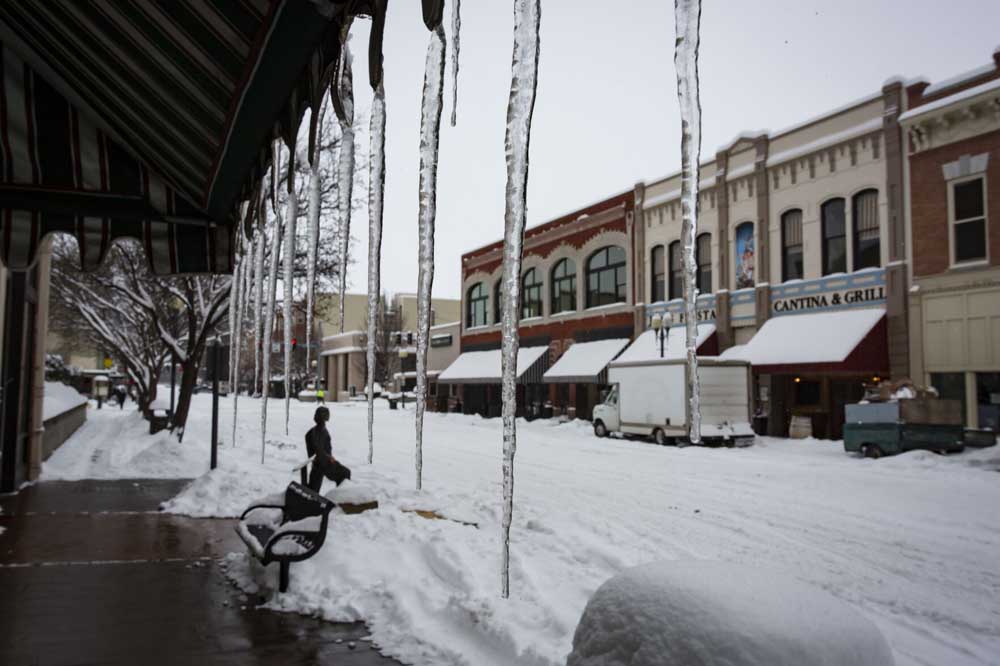
- Icicles hang from an awning Sunday along Main Street in Pendleton.
PENDLETON — Back-to-back-to-back storms blanketed Eastern Oregon in more than a foot of snow, but local meteorologists don’t expect the aftermath to create the kind of conditions that led to the Umatilla County floods last February.
Rob Brooks, a meteorologist with the National Weather Service Pendleton office, said three successive systems, starting on Thursday, Feb. 11, and running through Monday morning, combined to pelt the region with massive snowfall amounts.
Trending
According to the weather service, the Pendleton area saw 16.4 inches of snowfall over the four-day period, good for the fourth highest total over four days in recorded history. The Pendleton area set a record with three consecutive days of 4 inches of snow or more.
Brooks said reports coming from other parts of Umatilla County show that most other areas also saw well over a foot of snow by early Monday.
While still a far cry from the all time record of minus 4, Pendleton’s recorded low on Valentine’s Day was 8 degrees.
Although precipitation is expected to continue throughout the region, significant snowfall is not.
With temperatures expected to exceed freezing during daytime hours, Brooks said residents should expect a “wintry mix” of rain, freezing rain and snow over the next week.
Trending


Best of the Best of Bend 2025

-
eEdition

-

-