Pamelia Lake hike near Mount Jefferson offers stunning Cascade views and water scenery
Published 4:00 am Friday, September 9, 2022
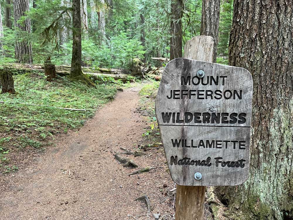
- A sign near the Pamelia Lake Trailhead.
Mount Jefferson has long been somewhat of a mystery to me. It has always seemed far away and hard to reach, nestled in that remote area between Bend and Salem.
Last week, I made a point to further explore the Mount Jefferson Wilderness, planning on a day hike along the Pamelia Lake Trail, one of the most popular trails in the wilderness area. Located on the western edge of Mount Jefferson, the area features clear, babbling streams, wildflower meadows, and dramatic views of the mountain, up close and personal. It is a popular access route for climbers seeking the summit.
Hikers need a Central Cascades Wilderness permit to trek the Pamelia Lake Trail, which I was able to purchase for $1 on recreation.gov two days in advance. But 14 of the 21 trailheads in the Mount Jefferson Wilderness do not require a permit.
I made the 1½-hour drive from Bend to Pamelia Road, located off state Highway 22 on the way to Salem near Detroit. The road into the trailhead was mostly paved and just a few miles.
The hike started amid old-growth trees of Douglas fir, Western Hemlock and Western Red Cedar deep in the Willamette National Forest. Pamelia Creek surges past sections of the trail, which includes remnants of the 2006 Mill Creek landslide, according to the U.S. Forest Service. But the forest along the trail escaped unscathed from the 2020 Lionshead Fire that ravaged other areas near Mount Jefferson and the town of Detroit.
After a little more than two miles and 800 feet of elevation gain, I arrived at Pamelia Lake. I walked out to the shore and a little way to the right to take in a grand view of craggy Mount Jefferson, most of its snow gone in late summer.
From this part of the lake, hikers can take the Grizzly Peak Trail three miles to the top and enjoy sprawling views of Jefferson. Or they can turn left along the Hunt’s Creek Trail to the scenic eastern end of the lake. I opted to do a little of both and started out up the Grizzly Peak Trail first.
The trail climbs 1,300 feet in 2.8 miles to the summit of 5,799-foot Grizzly Peak, so I decided to turn around after 1 mile, saving some energy to hike farther along the lake. Through the trees here and there, I gazed at the rugged slopes of 10,502-foot Mount Jefferson.
Back at Pamelia Lake, I turned onto the Hunt’s Creek Trail, which leads around the lake and also connects to the Pacific Crest Trail.
As I trekked around the lake, I came to an area of waterfalls, creeks and springs that seemed to appear out of nowhere. Small wooden bridges allowed for the crossing of several creeks and springs. One moss-covered waterfall was particularly beautiful, cascading just a couple of feet from the trail.
I opted to turn around just past the end of the lake, but the trail continues steeply uphill to an area called Hunt’s Cove. It leads to the top of the basin with more waterfalls and a ridgetop view of Mount Jefferson. The roundtrip hike from Pamelia Lake Trailhead to Hunt’s Cove is 11 miles. The roundtrip from the trailhead to the summit of Grizzly Peak is about 10 miles.
On my way back to the trailhead, I ran about three of the miles to save some time. By the time I arrived back at my car, I had hiked/ran 9.3 miles in about three hours, with 1,600 feet of elevation gain.
When I have more time, I hope to explore more of the pristine western flank of Mount Jefferson, which at least now is less of a mystery to me.


Best of the Best of Bend 2025

-
-
-