After 2020 fire, nature is healing at Green Ridge Trail
Published 4:26 pm Wednesday, June 21, 2023

- Pines and firs can be seen as one walks through the forest.
In 2020, the Green Ridge Fire burned north of Sisters in the Deschutes National Forest along Green Ridge above Camp Sherman. Although the Green Ridge Lookout was spared, the fire burned all along the Green Ridge Trail, which was on forested dirt roads along the east side of the ridge. The fire cleared underbrush along the west side of the ridge above Camp Sherman and the Forest Service later re-routed the trail along this side where the tree damage was also less significant.
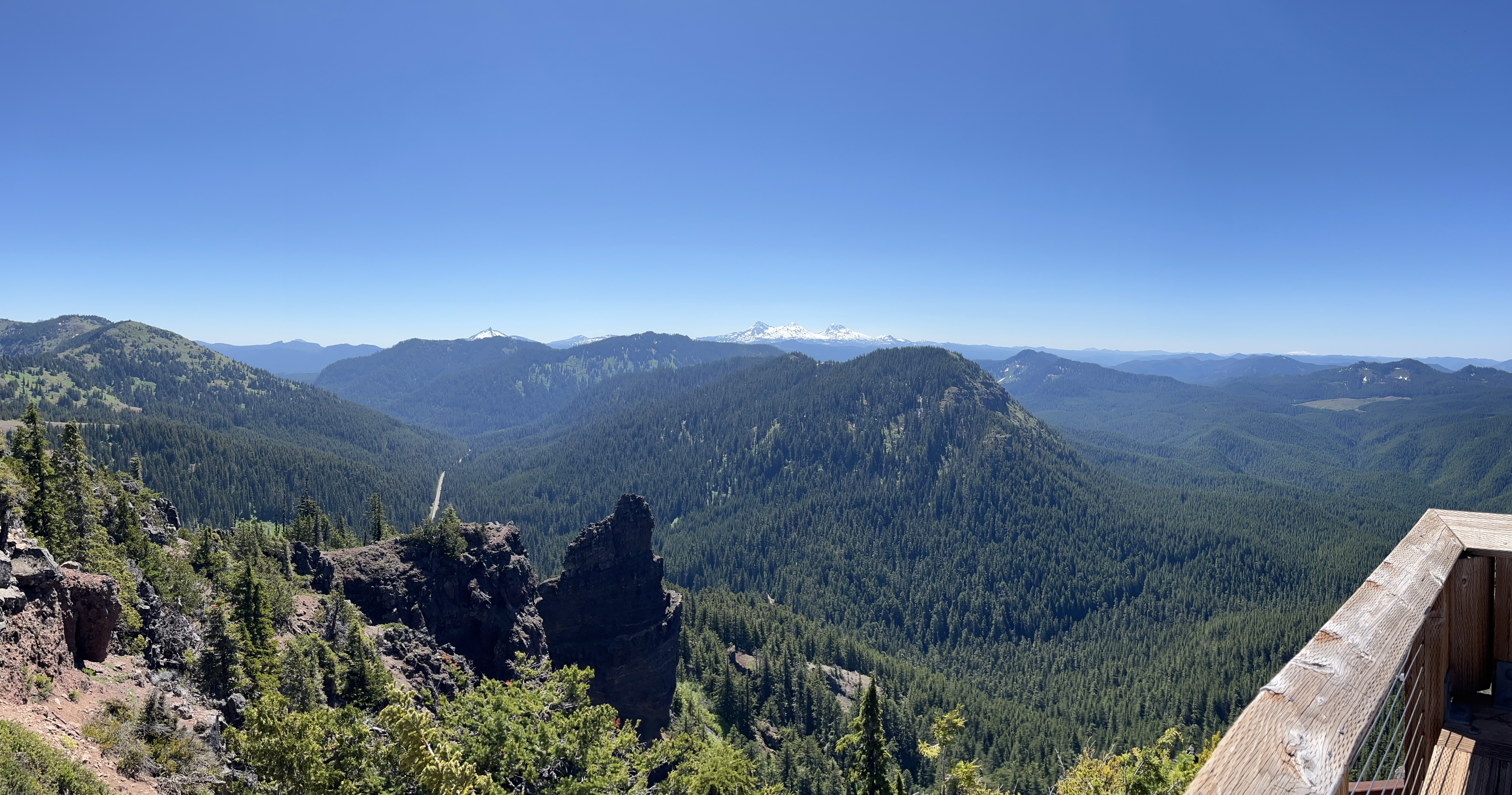
Trail users can now enjoy eye-popping views from Black Butte and up the Cascade crest to Mount Jefferson. On a clear day, you can even see Mount Hood.
Setting out on the trail
Because of its 12.4-mile length, this trail is primarily used by cyclists and equestrians, but if you enjoy great views, spring flowers, varying terrain and few people, then add the Green Ridge Trail to your hiking list.
Our group of Central Oregon Nordic Club hikers started from the southern trailhead on the Allingham Cutoff Road around 9 a.m. The sky was clear and the temperatures cool. The first part of the trail climbed steadily but not steeply through the forest, curving to the north and heading straight on once the lower part of the ridge is attained.
We walked at a moderate pace, stopping frequently to identify and photograph flowers and flowering bushes. The lupine, wild buckwheat, snowbrush and manzanita were beginning to flower, while the arrow leaf balsamroot was slowly fading. We also noticed the occasional bloom of purple delphinium.
Improving views
As we walked up the ridge, we caught glimpses of Black Butte, Mount Washington and Three Fingered Jack through the trees. At about 1¼ miles, we came to an open area where the views were unobstructed. We stopped here to take some pictures and enjoy the view. We could see Mount Jefferson peeking through the trees up ahead.
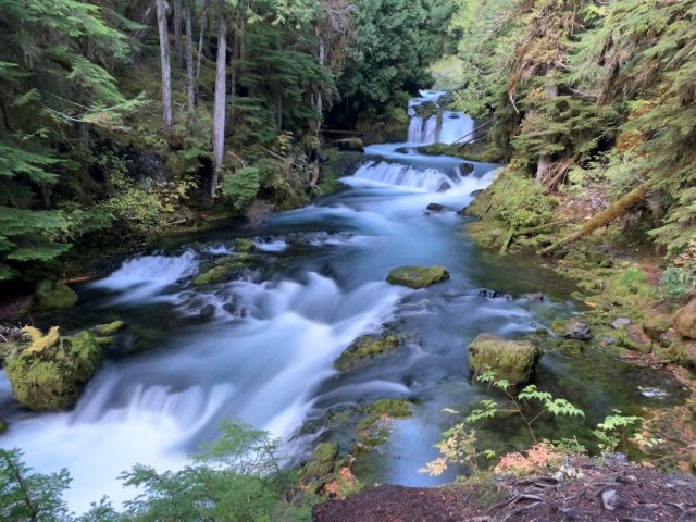
At just under 2 miles, the trail enters a section of forest affected by the 2020 fire. In this area many of the trees were burned but are still standing and providing shade cover. The ground is clear of most underbrush and the flowers are the main attraction, including milkweed, miner’s lettuce, checker lily, false lily of the valley, vetch and many strawberry plants. Some of the burned trees had little mushrooms attached to them. I later learned this was the veiled polypore — a fungus that decomposes the rotting sapwood of conifers.
At 3 miles, we entered unburned forest with lots of fireweed that should be pretty colorful come late June. This treed section skirts areas that were heavily burned and then clear-cut to remove the burned timber. After 4 miles, the ridge opened up to the west and the surrounding forest gave way to a meadow dotted with trees and more delphinium of various colors. Mount Jefferson could be seen easily now. The open area had several downed trees and large rocks to sit on to enjoy the scenery. Shortly thereafter, the trail merged with an old logging road that skirted the meadow.
A stopping point
We arrived at our destination at around 5 miles. A sparsely treed knoll on the west side of the trail. We did a short off-trail hike to get to the top, and once there, enjoyed our lunches and the wonderful views, along with the blooming penstemon and currant bushes. A few of us walked out onto a cliffy rock outcropping to get unobstructed views of the mountains and of the lush Camp Sherman area below. We could also see Mount Hood in the distance.
We opted to turn around after lunch and head back down to make for a 10-mile round trip.
However, the trail continues on for several more miles past the Green Ridge Lookout (which you can reserve through recreation.gov) to the northern trailhead.
To shorten the distance to the open mountain views, grab a map and start exploring the logging roads that parallel the Green Ridge Trail to the east. There are several points to get to the trail without starting at Allingham Road. Remember that the trail has been relocated toward the west since 2020, and some trail maps may be slightly off. You can also drive to the Green Ridge Lookout or to the northern trailhead and start from that end.

Best of the Best of Bend 2025

-
-
-