Here’s what shifting weather patterns means for this year in Central Oregon
Published 5:00 pm Tuesday, February 20, 2024
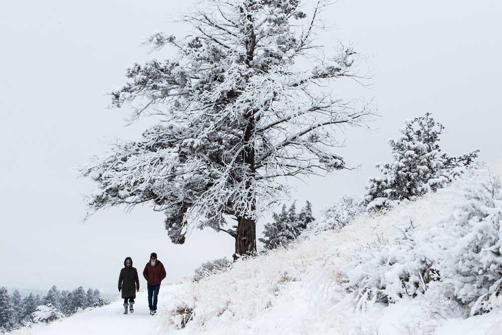
- Lynn Kameoka, left, and Scott Post descend a snow-covered Pilot Butte on Saturday in Bend.
Warmer daytime temperatures throughout this week are melting away the most recent round of snowfall across Bend.
Although the forecast calls for temperatures to reach a high of 53 degrees on Saturday, a storm is expected to hit the Central Cascades on Sunday evening.
That storm is traveling from the Gulf of Alaska and could bring high winds and deposit 5 to 8 inches of snow, said Matthew Callihan, a meteorologist from the National Weather Service office in Pendleton.
Despite this week’s moderate temperatures, there are indications that this year’s El Niño weather pattern, which is characterized by warmer and drier winter weather conditions, is weakening.
“We’re seeing a change. The El Niño has peaked and now it’s starting to subside,” Callihan said. “It was a pretty strong El Niño, the fifth strongest on record, and it’s not uncommon for a strong El Niño to switch gears rapidly.”
The strengthening of easterly trade winds in the Pacific Ocean is helping to cool sea-surface temperatures, which weakens the impacts of an El Niño weather pattern, according to Oregon’s Seasonal Climate Forecast.
Callihan anticipates that the weather pattern will enter a neutral phase in the coming months. A neutral year typically involves sea-surface temperatures in the equatorial Pacific Ocean returning to near average levels. It’s likely that next winter will be a La Niña year, Callihan said, which is marked by cooler-than-average sea-surface temperatures in the central and eastern Pacific and increased snowfall.
“If you’re a skier, it’s been kind of a rough year. Looking at the snowpack, we’re at 50-80% of normal,” Callihan said. “But it is looking to trend in the La Niña direction as we go into next winter.”
The weakening of El Niño doesn’t mean that Oregon will see less rain and snow, but the presence of a phenomenon known as the split-flow jet stream has redirected more intense storms toward California and away from Oregon. This year, Central California’s Death Valley has received 301% of its average annual rainfall, and millions of residents have been under flash flood warnings throughout the winter.
Winter storms boost Central Oregon snowpack to normal levels for the season
The upcoming spring and summer months are expected to be warmer than average, Callihan said, but officials aren’t too concerned about this year’s wildfire season just yet.
That’s because Oregon’s snow-water equivalents were largely replenished following a number of intense storms that deposited several feet of snow this winter.
Snow-water equivalent refers to the amount of water that would be produced if the entire snowpack in a specific region melted instantaneously. It’s a crucial metric for water management, especially in regions where snow accumulation is a significant source of water supply.
Water managers use snow-water equivalent data to assess the overall health of water resources, predict potential flooding or drought conditions, and make decisions about water allocations for uses such as agriculture and municipal water supplies.
“Right now, especially in Central Oregon, we don’t really have those concerns just yet. The snowpack has rebounded — the snow-water equivalent is around 100% for Central Oregon,” Callihan said. “But as you’re going north into Washington, especially close to the Canadian border, those snow-water equivalents are pretty low.”
Even though the snowpack has recovered, which helps to alleviate drought and wildfire, meteorologists like Callihan anticipate warmer-than-average temperatures in the upcoming spring and summer months, which could intensify the risk of wildfires.
More Local News


Best of the Best of Bend 2025

-
-
-