Editorial: Why homes right next to each other in Bend get different wildfire hazard ratings
Published 5:00 am Thursday, July 25, 2024
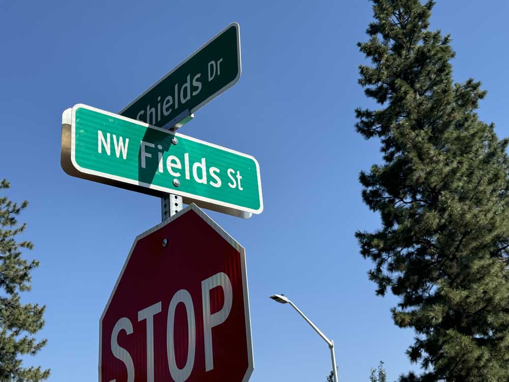
- Homes on Northwest Fields Street in Bend that are right next to each other get different designations for wildfire hazard on the new state map.
The state’s new draft wildfire hazard map has some seemingly odd places where surrounding properties are designated moderate hazard and an adjacent property is designated high hazard.
NW Fields Street in Bend has some examples.
We went over to that neighborhood off Mt. Washington Drive and walked around. We couldn’t see why one property got the high hazard designation and the next one did not. Vegetation was similar throughout the neighborhood. The occasional stately ponderosa pine didn’t seem to correspond to any particular hazard designation. But we also have expertise in such matters of exactly: zero.
The distinction between high hazard and moderate could make a difference to those properties designated high hazard. A property in what is called the wildland urban interface and that is designated a high hazard may be subject to new rules for defensible space and home hardening. And properties we looked at had both designations.
Those new rules have not been finalized, yet. And existing homes would not have to perform home hardening unless there were significant changes to the structure. Still, property owners are going to have questions.
We did reach out to Andy McEvoy of the OSU College of Forestry about that particular set of homes. He helped develop the wildfire maps. McEvoy said some properties right next to each other can fall just above and below designations.
“We can visually assess fuel characteristics (e.g. type, amount, distribution) between two properties and reasonably estimate differences in fire intensity,” he told us in an email. “However, there is no way to visually assess burn probability, much less compare burn probabilities among multiple properties based on visible, property-level characteristics alone. That’s why we rely on state-of-the-art simulations and use the best available data.”
One thing the new map is not supposed to change is home insurance. Oregon law says insurance companies can’t take the map and use it to charge people more. Senate Bill 82 from 2023 said: “An insurance company may not use a map published by an agency of this state that identifies areas of wildfire risk or exposure as a basis for: (1) Canceling or declining to renew a homeowner insurance policy; or (2) Increasing a premium for a homeowner insurance policy.”
It’s easy enough to open the draft map and zoom in and check out where you live, where relatives and friends live. You can find it here: tinyurl.com/ORhazardmap. If you have thoughts about this proposed map, you can email them here: hazardmap@odf.oregon.gov.


Best of the Best of Bend 2025

-
eEdition

-

-
Go! eEdition