UPDATE: Firestone Fire grows to 6,500 acres, fire near Mt. Bachelor remains at 80 acres
Published 3:18 pm Saturday, September 7, 2024
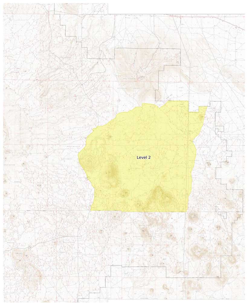
- Level_2_Firestone_Fire_090624.jpg
UPDATE 12 p.m. Sunday:
The Firestone Fire burning southeast of Newberry Caldera has grown to 6,500 acres, according to fire officials.
An incident management team will take command of both the Firestone Fire and the nearby Flat Top Fire as multiple air and ground resources continue work to contain them. Evacuations remain in place.
The Backside Fire west of Mount Bachelor remained at 80 acres as of Sunday. A complex incident management team was expected to take over command of the fire Monday. Evacuations of Mt. Bachelor and nearby areas remain in place.
Also on Sunday, firefighters responded to a fire located southeast of Little Lava Lake. The 50-acre blaze was visible from many recreation sites in the area.
The Deschutes National Forest issued emergency closure maps for the areas surrounding the Backside Fire and the Firestone Fire.
A new fire burning in the Cascade Lakes area has caused evacuations of Mount Bachelor and several nearby locations in the Cascade Lakes area.
The Backside Fire, located west of Mount Bachelor in a roadless area, was about 80 acres by Saturday evening and forced a Level 3-Go Now evacuation notice for areas including Mount Bachelor, Todd Creek Horse Camp, Sparks Lake, Devils Lake and the Quinn Meadow area, according to the Deschutes County Sheriff’s Office.
Level 3 means leave immediately.
Multiple air and ground resources were responding to the fire, according to Central Oregon Fire Information, an interagency fire information site.
Mt. Bachelor ski area spokeswoman Lauren Burke said Saturday the mountain would remain closed on Sunday due to the fire, and intended to reopen on Thursday.
The fire was among 15 lightning-caused fire incidents on the Bend-Fort Rock Ranger District of the Deschutes National Forest that firefighters responded to on Saturday.
The Firestone Fire, burning in brush and timber southeast of Newberry Caldera on the Deschutes National Forest, grew to more than 3,000 acres. Saturday evening, the Deschutes County Sheriff’s Office heightened evacuation levels due to this fire. Level 3-Go Now evacuations now include all areas north of the Lake/Deschutes County line to Pine Mountain, east of China Hat Road and Spencer Wells Road, west of Moffit Road.
Level 1-Be Ready evacuations were in place for areas north of Pine Mountain between Spencer Wells Road and Moffit Road all the way to U.S. Highway 20.
Due to a fire near Flat Top Butte in northern Lake County, Level-Be Ready evacuations were issued for areas west of China Hat Road, north of the Deschutes County/Lake County Line, south of Forest Road 21 and generally southeast of Newberry Caldera, according to the sheriff’s office.
Current maps including evacuation areas can be found at: deschutes.org/emergency.
This article will be updated.


Best of the Best of Bend 2025

-
-
-