Transportation challenges mirror those from two decades ago
Published 5:30 am Saturday, September 14, 2024

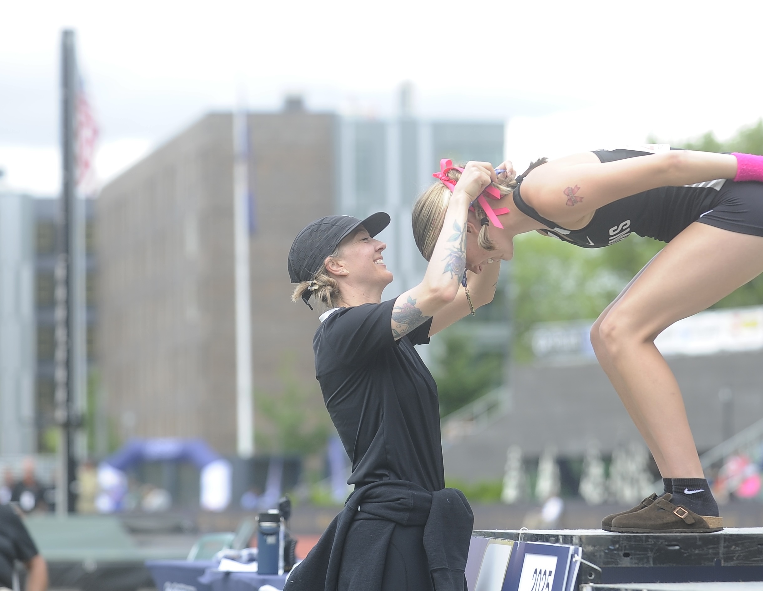
- Traffic on U.S. Highway 97 in Bend in September.
As Deschutes County’s population eclipses 200,000 and Bend continues to explode with growth into a small city, the impacts bleed into many aspects of life in Central Oregon.
The most visible, perhaps, is transportation, and traffic and congestion will get worse as the region grows.
“It’s inevitable,” said Ryan Oster, lead transportation engineer with the city of Bend.
Bend’s population was 52,000 in 2000. Today the population is 106,000. In 20 years, it’s expected to rise by another 50,000 people, according to forecasts from Portland State University.
But the themes and challenges are largely the same: jammed intersections, safety concerns, funding issues and community divides over the future of transportation infrastructure.
Parkway still evolving
Construction of the Bend Parkway, which began in 1996 and finished in 2002, faced some local opposition. Businesses along present day Third Street, where all through traffic was funneled, feared they would miss out on customers should vehicles be redirected elsewhere.
More than two decades later, the seven-mile section of U.S. Highway 97 allows drivers to cut through the middle of Bend without clogging up traffic.
But the project is still being fleshed out.
Bend transportation plan looks to accommodate 40,000 more people
A major set of improvements, dubbed the Bend North Corridor Project, that have been on the books since 2007 are set to be finished in 2024. They’re meant to accommodate growth and improve safety on Bend’s north end, finally completing sections of what was built in the 1990s, said Omar Ahmed, area manager with the Oregon Department of Transportation who oversees the project.
“Bend just continues to grow at an exponential rate,” he said. “We have folks choosing to live in Redmond or Tumalo or Prineville and commute into town. This project really helps accommodate that.”
The $175 million project created new sections and rerouted part of the highway. It also added ramp connections, built roundabouts along nearby U.S. Highway 20 and new shared-use paths for pedestrians and bicyclists.
As large businesses and neighborhoods came into the area, ODOT’s traffic index showed that high-use intersections in north Bend became some of the most dangerous in the state, said Mark Barrett, the agency’s traffic manager for Central Oregon.
Fewer than 40,000 vehicles per day were using the north parkway in 2003. Today the area sees more than 55,000. Growth occurred most rapidly in the early 2000s, late 2010s and early 2020s after the COVID-19 pandemic.
Even with that growth, expanding the parkway from two lanes to three probably isn’t in the cards. New state policy directs transportation planners to focus on ways to make traffic flow more smoothly, rather than simply making roads bigger, according to Barrett.
The north end of the parkway hasn’t been the only focus point as the traffic burden grows. About a decade ago, a traffic signal at Murphy Road was replaced with a bridge overpass. A lone traffic signal remains at the intersection with Powers Road. Future plans call for another overpass there, but that project is unfunded, Ahmed said.
And it may remain unfunded for some time if current trends continue. The state transportation agency is at a crossroads as it faces a major gap in its budget. Highway officials have said declining gas tax revenues because of better fuel efficiency, high costs of infrastructure projects because of inflation and restrictions on funding are all reasons why the agency would have to lay off 1,000 employees across the state, including 116 in Central Oregon, without some kind of funding fix at the 2025 legislative session, according to a recent report.
Either way, the agency will have to prioritize its money, said Kacey Davey, a spokesperson for the department.
“As we look at growth and more people coming to the area, instead of the big shiny projects, we need to make sure we can maintain what we have and keep people safe who are using our system,” Davey said.
Transportation funding lags
State highway officials aren’t the only ones facing funding hurdles to keep up with growth. The city of Bend’s Transportation System Plan for the next 20 years carries a $1 billion price tag, but the city only has funding identified for about three-quarters of the total.
Meanwhile, the city has an $82 million deferred maintenance backlog, according to David Abbas, director of the city’s transportation and mobility department. The number of miles of traffic lanes the city maintains — 936 —has grown by 10% in the past 5 years.
Transportation needs have led the city to approve new fees and increases. This summer, Bend residents started paying a new utility fee for transportation, which is expected to bring in $5 million in the first year, $10 million in the second year and $15 million in the third year to pay for maintenance. Recent changes to system development charges have made building in Bend more costly in order to keep up the transportation system.
The utility fee is based on the premise that users of transportation infrastructure — presumably everyone who lives in Bend — should pay for its improvement, said Barb Campbell, who serves on the Bend City Council.
But with future funding mechanisms, Campbell said imposing a fuel tax is one way to make out-of-town vehicles on the streets pay for some of the impacts.
Traffic at some places in Bend can swell by more than 10,000 vehicles in the summer months, according to seasonal traffic data from the Oregon Department of Transportation.
“There is a source of money out there that’s not our own pocketbooks,” Campbell said.
While Bend voters shot down a fuel tax initiative in 2016, they approved a $190 million transportation bond four years later to pay for projects that promise to ease congestion and improve safety on some of Bend’s increasingly busy streets.
The bond allocates $42 million for bicycle and pedestrian improvements, $57 million to improve east-west travel and another $40 million for intersections.
Not just about the cars
The first improvements from the bond came earlier this year to the intersection at Wilson Avenue and Third Street, which became the first “protected” intersection in the city, with new green-striped bike lanes in all four directions, crosswalks and concrete corner islands.
It provides something the city will continue to lean on to handle growth: ease of travel for bicycles, pedestrians and other modes other than cars.
Read the full collection of The Bulletin’s Central Oregon Growth Series.
“It’s not just about the cars anymore,” said Oster, the city engineer. Making heavily-used routes accessible to other types of travel is “a much more economical way to address congestion than just adding another lane in each direction.”
That’s the philosophy of the state’s Climate Friendly and Equitable Communities program, which set new rules for transportation planning. Cities larger than 50,000 people must create areas where people can go about their days — from work to grocery shopping — without a car.
Similarly, as the Bend grows outward, the city requires large-scale housing developments to incorporate commercial areas, parks and schools.
Today, the average person in the Bend area drives a little more than 8 miles per day. With certain bicycle and pedestrian improvements, that number could drop slightly in the future, even as the city expands, according to a draft 20-year transportation plan for the Bend area.
The mobility concept was also applied to Greenwood Avenue, one of Bend’s busiest streets that connects downtown to the east side via an underpass of the parkway and Burlington Northern Santa Fe Railway. The project turned a road with two lanes of travel in each direction to one each way, took away parking spaces, and added a center turn lane and bike lanes on each side.
Some people weren’t happy about the big change. With fewer lanes, the new Greenwood Avenue design is expected to increase congestion slightly. A few businesses feared the lack of parking would make them inaccessible.
Many people still rely on cars, especially in the winter, Oster said. But the new street designs are expected to reduce crashes and improve safety for all travelers, including cars.
In the next few years, two other east-west connections nearby will make travel easier for bicycles and pedestrians, including the new $30 to $40 million footbridge over the railroad and parkway at Hawthorne Avenue. The Bend City Council hopes the bridge, in addition to its practical benefits, will become Bend’s icon of infrastructure.
Traffic has always been bad
Walking and biking options were incorporated into street designs going back a few decades, but specific focus on multiple modes was not a solution to address population growth until recently, said Robin Lewis, a retired transportation planner who worked with the city from 2000 to 2024.
Aside from major projects like the parkway and Bill Healy bridge on Reed Market Road — a major southern river crossing and another controversial project at the time of its construction in 2003 — smaller projects in the early 2000s mostly focused on connecting missing links in the transportation grid. At the same time, population growth was straining intersections, many of which relied on stop signs to control traffic and had issues with crashes and long lines, Lewis said.
“The traffic in this town has always been bad,” said Campbell, the city councilor.
The strain on Bend’s streets in the early 2000s was so significant that the city manager at the time raised the possibility of the city enacting a moratorium on development to let road building catch up.
In Oregon, cities are required to strategically plan for how to accommodate growth. But local governments are allowed to pause growth if they demonstrate dire impacts to infrastructure, according to Gordon Howard, a division manager with the Department of Land Conservation and Development.
Growth moratoriums because of traffic are rare, he said. The city council at the time decided against one.
A solution to congestion
Instead, another solution was brewing that would become Bend’s signature form of traffic control: roundabouts.
A group of businesses and developers on Bend’s west side called the West Side Consortium (which included The Bulletin) were particularly concerned about the impacts from increasing traffic. The group included Mike Hollern, a founding member of developer Brooks Resources and former chair of the state transportation commission.
Hollern noticed on a trip to Europe the way roundabouts moved streams of traffic smoothly past one another.
“Nobody really had even heard of roundabouts here, and there was no particular appetite for them,” Hollern said. “We couldn’t get anybody to go along with us, so we built it.”
Round and around, the roundabouts of Bend promote safety
The first one went in on Colorado Avenue and 14th Street. Despite some initial community opposition, the group went on to build a handful more on the west side, and was paid back by the city using system development charges associated with developments that followed.
Roundabouts mean Bend’s west side is without traffic lights — or five-lane roads, which Hollern described as one of the “hideous monstrosities of modern America.”
There are 52 roundabouts in Bend today.
Increasing options
But roundabouts aren’t the only answer. One key to easing strain on the system is making sure people have a wide range of alternatives to riding alone in cars, said Brian Potwin, executive director of Commute Options — a nonprofit that promotes transportation alternative to cars.
The transportation nonprofit runs the region’s only vanpool program, which provides vans for coworkers who live near one another to drive to work and back together each day.
The model has become possible because of population growth, but it’s still more challenging to accomplish in places like Central Oregon, where distances are farther between cities and people are fewer than in larger metropolitan areas, Potwin said.
Meanwhile, e-bikes and scooters are creating other options for people to cover longer distance commutes. Potwin sees potential for shared bike bays that have taken root in other cities.
The bicycle and pedestrian network has come a long way in the last few decades, he said, but there’s still room for improvement.
“There’s still parts of town where the bike lane ends,” he said. “There’s still parts of town where the sidewalk ends and there’s nowhere to go.”
The Bulletin’s yearlong series is focused on the impacts and solutions related to growth in Central Oregon.
We’re comparing how civic groups, government officials and local leaders addressed growth 20 to 25 years ago to today, with a focus on four areas — environment, infrastructure, economics and housing. Bulletin reporters will examine the success of previous solutions, current approaches to growth issues.


Best of the Best of Bend 2025

-
-
-