Forest Service plans springtime prescribed burns
Published 9:37 am Friday, April 11, 2025
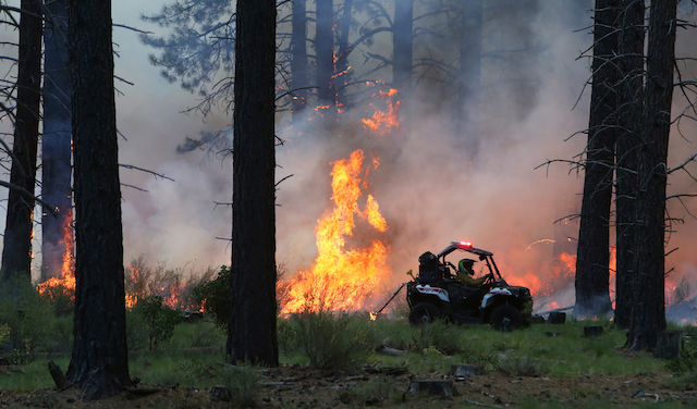
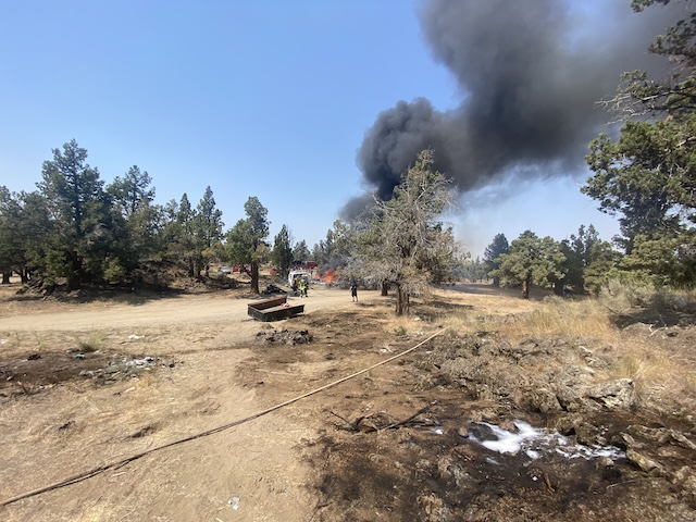
- Smoke billows up as a U.S. Forest Service employee drives a quad fitted with a drip torch and lights a line of fire while the ground fuels combust in the distance, during a Prescribed Burning operation on the Big Eddy Unit, in West Bend Wednesday afternoon. 5-29-24
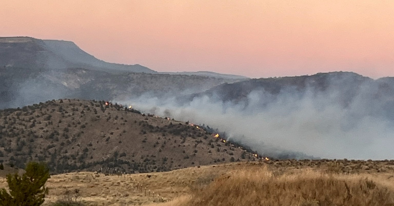
Springtime prescribed burns on the Deschutes National Forest are planned in the coming weeks, prompting an advisory for the U.S. Forest Service for smoke impacts.
Around 7,000 acres are planned to be treated in the Bend-Fort Rock Ranger District, around 360 acres are planned on the Crescent Ranger District and another 1,500 acres are planned on the Sisters Ranger District.
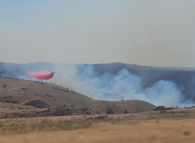
The work includes controlled burning of understory to reduce wildfire risk near communities. Fire removes concentrations of flammable vegetation to mitigate the impacts of wildfire. Burn areas are monitored until they are declared fully burned out.
Trending
The timing for prescribed burns, conducted in the spring and fall, depends on wind, temperature and other weather conditions. Other factors are also considered, including vegetation moisture levels.
Firefighters work with the Oregon Department of Environmental Quality and Oregon Department of Forestry smoke forecasters to identify conditions that will minimize smoke impacts on people and communities.
While prescribed fire managers take significant preventive measures, communities will likely experience some smoke during or immediately after a prescribed burn. Most smoke impacts occur during the night and early morning hours.
Centraloregonfire.org has maps showing the locations of planned prescribed burns. The public can also follow on X/Twitter @centralORFire.
Prescribed burns are planned for the following areas:
• Bend – West of Bend adjacent to Cascade Lakes Highway, Forest Road 41, Skyliners Road, Phils Trailhead area, and the Deschutes River and southeast of Bend near the junction of Forest Road 18 and Forest Road 25.
Trending
• Camp Sherman – Along Forest Road 14 south of Camp Sherman, along Forest Road 800 south of the Camp Sherman Store, and west of Camp Sherman along Forest Road 1216.
• Crescent –Southeast of Crescent and east of U.S. Highway 97 off Forest Road 9760 near Boundary Springs Campground, south of Crescent and 1 mile north of the junction of Highway 97 and state Highway 58, and south of the Two Rivers subdivision and west of Highway 97 off Forest Road 5835.
• La Pine – Northeast of La Pine on the north and south sides of Paulina Lake Road, and southeast of La Pine near Finley Butte.
• Sisters – South and west of Sisters and both sides of U.S. Highway 20 near the Indian Ford Campground area.
• Sunriver – East of Sunriver and Lava Butte on the east side of Highway 97.
About Michael Kohn

Michael Kohn has been public lands and environment reporter with The Bulletin since 2019. He enjoys hiking in the hills and forests near Bend with his family and exploring the state of Oregon.
He can be reached at: 541-617-7818, michael.kohn@bendbulletin.com
 More by Michael
Marketplace
Best of the Best of Bend 2025

-
eEdition

-

-