Wheres Waldo Lake?
Published 5:00 am Thursday, October 2, 2008
- Wheres Waldo Lake?
An ambitious outdoor enthusiast (or writer) could probably make a career out of Waldo Lake.
The second-largest natural lake in Oregon, Waldo is a Windex clear, forest-rimmed jewel in the Cascades, west of Willamette Pass. The 21-mile Shoreline Trail loops the lake and delivers mountain bikers and hikers to the most beautiful white-sand-pocket beaches I’ve seen this side of Kona.
It’s somewhat jarring to emerge from a forest primeval and come upon these little slivers of shoreline paradise — at 5,414 feet above sea level.
According to the Forest Service, there are more than 150 miles of hiking trails in the immediate vicinity, leading to small wilderness trout lakes, streams, peaks and stands of big trees. In the winter, snowshoers, snowmobilers and nordic skiers hold sway.
It’s fall — Indian summer — and the place was pretty much deserted Monday.
I felt as if I’d made this groundbreaking discovery, even though, I’m told, Waldo Lake isn’t a secret. And how could it be? It’s sprawling and scenic and not far off state Highway 58.
A visitor could choose to bike the loop and get a fast-paced glimpse of the entire lake, or bite off a chunk of the Shoreline Trail and take time to poke around the coves and mosey to the soothing beat of the lapping wavelets.
I began hiking at Shadow Bay, on the south end of the lake, heading counterclockwise. The first thing that struck me was the clarity of the water. Waldo’s water is gin clear (pardon the cliche, but it’s an apt description) because the lake has no permanent inlet to deliver nutrients into the lake to foster plant growth. The lake is recharged by underwater springs and snowmelt.
“The lack of plant life contributes to its purity,” according to the Willamette National Forest Web site.
All I know for sure is that you can see a long way into the water. Boaters are said to be able to see 120 feet down on a windless day.
The lake, formed by scouring glaciers, is 427 feet at its deepest point.
The only limiting factor I can see for hikers, bikers and canoeists is that motorized boats are allowed in Waldo Lake, with a 10 mile per hour limit. It was a moot point Monday, but summertime can bring noise pollution to the lake.
From Shadow Bay, it’s a little more than a mile and a half to the South Waldo Lake Shelter, located in a meadow, back from the lake. On the way back and forth, there are several small wooded islets creating sheltered coves that would be inviting swimming spots on a hot day. Keep in mind, the Shoreline Trail loops the lake and can be accessed from several points.
Old Waldo hands speak of the voracious mosquitoes in June and July. But late September is gloriously non-buggy in this neck of the woods.
The hiking is sublime. But Waldo is a good overnight destination as well. And there’s still time before the snow starts flying. Shadow Bay Campground and Islet and North Waldo campgrounds to the north offer full services, including toilet facilities, drinking water, boat ramps, garbage service and recycle centers for a fee. For the more adventurous, there are unimproved campsites dispersed around the lake that can be accessed by boat or on foot. The Forest Service reminds campers to “leave no trace” when enjoying these remote spots.
Forest Road 5897 skirts above the east shore of Waldo Lake at about 6,000 feet. The north and east side of the lake has no roads and is bounded by the backcountry hiking trails of Waldo Lake Wilderness.
If you go
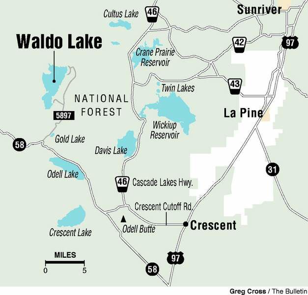
Getting there: From Bend, drive south on U.S. Highway 97 and turn right (west) on state Highway 58. Turn right at the sign for Waldo Lake, three miles past Willamette Pass. It’s eight miles to the Shadow Bay turnoff and another two miles to the lake. To reach the north part of the lake, continue another seven miles on the upper road. It’s about an hour-and-15-minute drive from Bend.
Contact: 541-225-6300
More Ride Guide

Best of the Best of Bend 2025

-
-
-