Editorial: The seeming demise of Oregon’s fire map tax
Published 5:00 am Saturday, February 22, 2025
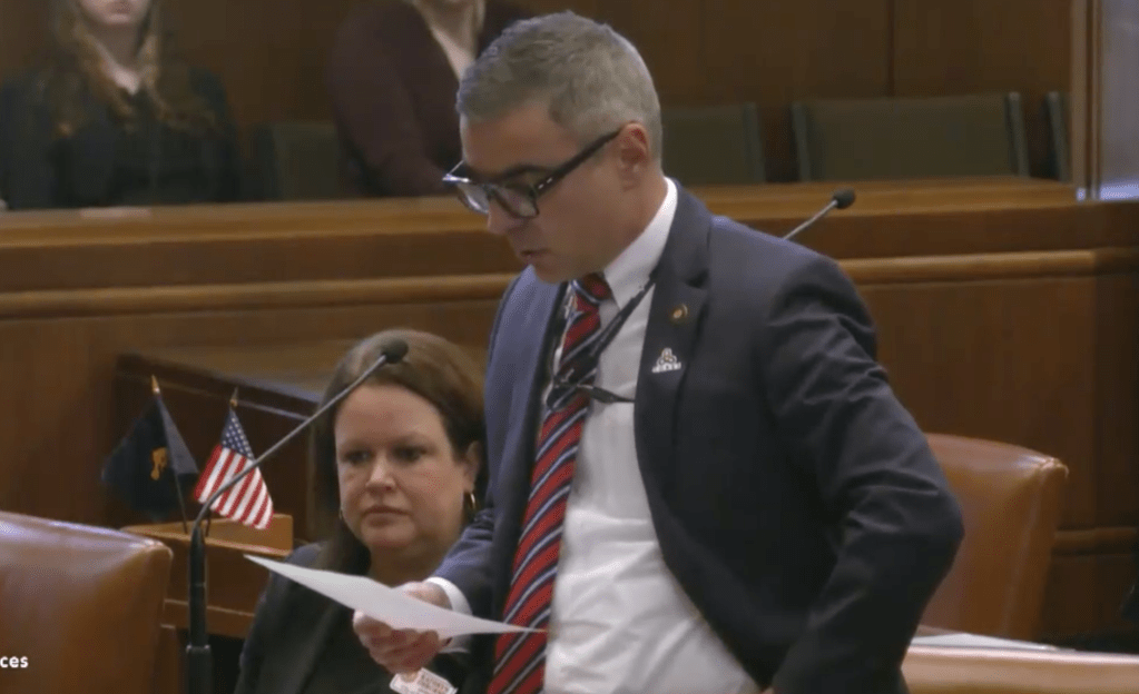
- State Sen. Anthony Broadman, D-Bend, calls for a repeal of the state wildfire hazard map on Feb. 20.
The state wildfire hazard map is dead or headed for a reckoning. We don’t know that for sure, so don’t get your hopes up if that is what you are hoping. We don’t know if it is for the best.
The evidence, though, is growing the map’s days may be short. Republicans and Democrats in the Legislature want it gone. Even state Sen. Jeff Golden, D-Ashland, whose bill called for the map said he thinks it needs to go. State Sen. Anthony Broadman, D-Bend, told the Oregon Senate on Thursday he wants the map repealed.
“I don’t want the maps to distract from the good work we are doing on fuels reduction, community hardening and preparation for fire season,” Broadman said. “So Senators I encourage a full repeal of the fire maps and let us focus on getting ready for the wildfires that are coming.”
The resistance to the state wildfire map is about many things. Fundamentally, the state is imposing a fire map tax on Oregonians with little public input that doesn’t appear to be fair.
The maps effectively designated more than 100,000 Oregon households with a kind of scarlet letter “high risk,” which will make properties more challenging to sell or drive down their values. Then, the state didn’t give much time to appeal the designation. And, of course, it puts a burden on households when wildfires start in the forest.
The state’s mapping of wildfire risk got off to a botched start with minimal effort put into explaining to the public what was going on. The Legislature passed a stopgap measure banning use of the maps in setting insurance rates. But even if insurers don’t dare peek at the state maps, it may inspire them to create their own.
Broadman mentioned another problem. The map seems to fail a logic test. It’s not easy to see why some homes in a neighborhood get a moderate hazard designation and those nearby are designated high hazard. When a draft map was released in July, we walked around a neighborhood in West Bend. The difference in designations didn’t seem to make sense.
What’s unnerving about this issue is that it shouldn’t be out of bounds for state government to assess which parts of Oregon have the most wildfire risk. It is smart to try to judge where the state should put the limited money available to reduce risk. It is smart to inform homeowners that it is important for them to take action and for some properties more than others.
Whatever happens with the map, Oregon homes, neighborhoods and towns don’t get a pass on wildfire risk if the map goes away.
More Editorials


Best of the Best of Bend 2025

-
-
-