Mountain areas west of Bend could see 3 feet of snow this weekend
Published 3:30 pm Friday, March 31, 2023
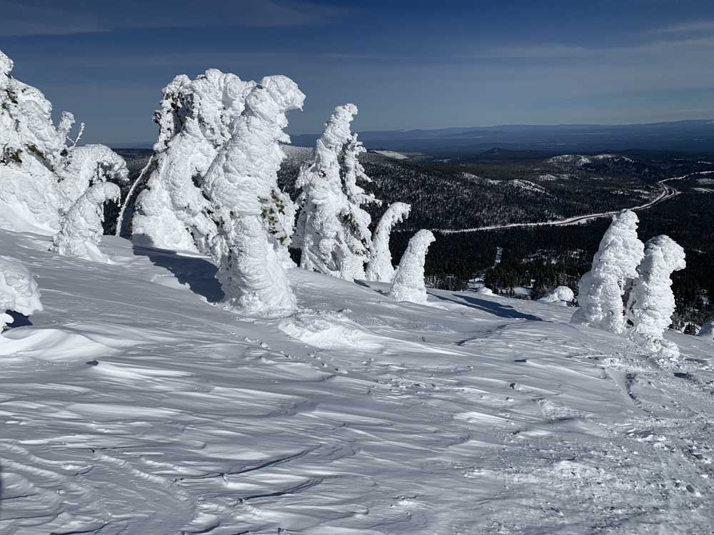
- Snow ghosts at the summit of Mount Bachelor in January.
Central Oregonians are bracing for yet another large winter storm headed for the Pacific Northwest. This one is forecast to bring more than 3 feet of snow to mountainous areas in the Central Cascades this weekend.
A winter storm warning issued by the National Weather Service was set to begin Friday at 5 p.m. and is set to expire at 11 p.m. on Sunday. Spring break travelers are advised to plan accordingly if headed over mountain passes.
The current forecast indicates the potential for up to 45 inches of snowfall in the Oregon Cascades, “though these amounts are more likely along the higher peaks and closer to the crest,” said Brandon Lawhorn, a meteorologist with the National Weather Service.
Lawhorn said Santiam Pass, a main driving route between Bend and the Willamette Valley, is forecast to receive around 36 inches over the weekend, with most of the snow expected to fall on Saturday.
“We also expect the heaviest snow accumulations to occur with a cold front passage Friday through Saturday afternoon,” said Lawhorn.
The forecast will boost Central Oregon’s snowpack beyond current levels. As of Friday, snowpack in the Upper Deschutes and Crooked basin was 137% of normal.
Skiers will also find joy at ski areas this weekend. Mt. Bachelor ski area has received 399 inches of snow this year and has a base of 123 inches. But the resort also has a tree well hazard alert in effect and advises skiers to travel in pairs and look out for each other.
Central Oregon cities are also expected to receive several inches of snow over the weekend. The National Weather Service forecasts 3 to 5 inches of snow in La Pine, 4 to 7 inches in Sunriver, 1 to 3 inches on Bend’s west and southwest sides, and less than an inch in Bend’s east and northeast sides.
Sisters will also see 2 to 4 inches of snow, and Redmond could receive 1 inch.
Oregon Department of Transportation spokesperson Kacey Davey said road crews are getting ready for the blast of winter weather and will remain fully staffed for winter conditions until the heavy snow dies down.
Davey reminds drivers that March 31 is the deadline to remove studded tires from vehicles.
“Drivers have other options,” said Davey. “Tire chains work well in snow and ice, but there are more devices out there that can be easier to use. Consider the wire style chain or even snow socks to help your vehicle gain traction.”
She also notes that highways may see increased traffic from folks heading home after spring break.
“Even with crews working around the clock, people should expect to be driving on snowy roads through mountain passes. Strong winds could cause reduced visibility and create snow drifts on the road. If you must travel over a pass this weekend, be prepared for stormy conditions and expect that your trip will take longer than it would on clear dry roads,” said Davey.
Davey also has a warning for travelers who encounter delays: do not rely on GPS for alternate routes.
“Secondary and forest roads will likely have worse conditions in snowy weather and are usually not safe alternative routes through the mountains,” she said.
Other safe driving tips from ODOT:
- Slow down in stormy weather. Through the mountain passes, especially around steep slopes, snow or other debris can slide or fall onto the highway.
- Do not pass snow plows, and never pass them on the right. Plows have blades that stick out to the right and are often hard to see in the snow. Trucks usually drive 30 mph when plowing and will pull over when it’s safe to do so.
- Use
- to check road conditions.
- Pack accordingly, including a flashlight, snacks, water, and warm clothes.
- Cross-state drivers may want to consider less snowy routes, such as traveling on Interstate 84 instead of over Mount Hood. In some areas, public transportation or ridesharing could be another good option.


Best of the Best of Bend 2025

-
-
-