Revamped rock map offers more tips toward treasures
Published 2:33 pm Wednesday, January 4, 2017
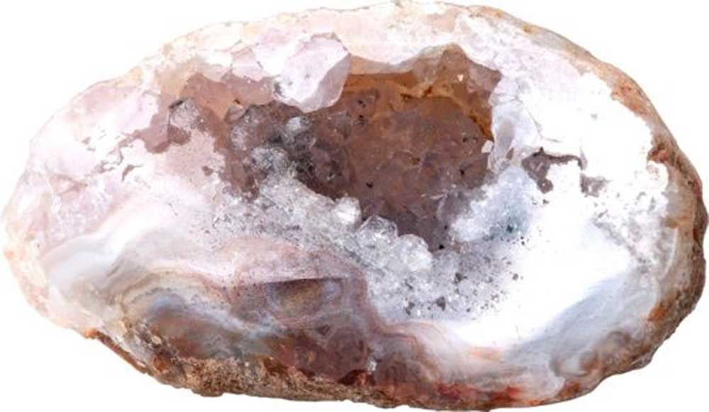
- Thunder eggs are the state rock of Oregon. (Thinkstock)
A new version of the Central Oregon Rockhounding Map offers more tips and information for those looking to collect local rocks.
The update to the 2004 version of the map, originally published in 1964, comes from Ochoco National Forest, the Prineville District Bureau of Land Management and the Prineville-Crook County Chamber of Commerce.
Trending
The map costs $4 and is printed on water-proof plastic It can also be downloaded to mobile devices.
Rockhounding for personal, non-commercial use is free on Forest Service and BLM lands in Central Oregon.
A news release from Ochoco forest noted that the region has various unique, semi-precious gemstones and pointed to the opportunity that rockhounding provides for people to experience Oregon’s forest and desert environments and its geologic history.
The map highlights 11 collection areas that offer petrified wood, obsidian, thunder eggs, jasper and agate, among other rocks, according to the news release. Thunder eggs are Oregon’s state rock.
The map is available at the Ochoco forest office, BLM office and the chamber’s visitor center, all in Prineville. It is also available online, with additional shipping and handling charges, at www.nationalforestmapstore.com/product-p/or-75.htm. A digital version of the map can be bought online through Avenza and downloaded directly to a mobile device or computer at https://www.avenzamaps.com/maps/479079/central-oregon-rockhounding-map/.
Trending
Marketplace


Best of the Best of Bend 2025

-
eEdition

-

-